Storm Surge Depth Calculator Online
Use the Storm Surge Depth Calculator to estimate water depth above ground from storm surge, tid:contentReference[oaicite:1]{index=1}:contentReference[oaicite:2]{index=2}:contentReference[oaicite:3]{index=3}
Please complete this field to continue.
Please complete this field to continue.
Please complete this field to continue.
Please complete this field to continue.
Results
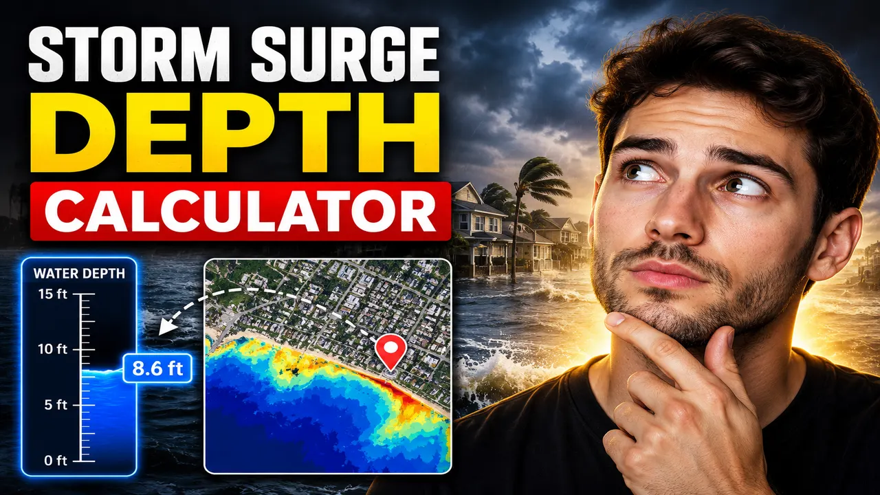
Storm Surge Depth Calculator
TL;DR Summary
The Storm Surge Depth Calculator estimates how much water could be above a location's ground elevation by combining storm surge, the normal astronomical tide level, and ground elevation. It is a simplified estimate rather than an official storm-surge forecast or engineering flood model, and the supplied tool information does not establish specific data-storage or server-processing behavior.
About the Storm Surge Depth Calculator
The Storm Surge Depth Calculator is designed to help users understand the relationship between storm surge, tide level, ground elevation, and potential coastal flooding. It gives an estimated inundation depth in feet or meters using the values entered by the user.
The most important point is that storm surge and flood depth are not the same measurement. NOAA defines storm surge as the abnormal rise in water level produced by a storm above the predicted astronomical tide. Storm tide is the combination of storm surge and astronomical tide. Inundation describes water covering normally dry ground and is expressed as water height above ground level.
This distinction matters because a storm surge value by itself does not tell you how deep the water will be at a particular property or piece of land. Ground elevation changes from place to place. A location with higher ground can have less water above the ground than a lower location even when both locations experience the same storm-driven water level.
This calculator uses that basic relationship for a straightforward estimate. You enter the storm surge above normal tide, the astronomical tide level, and the ground elevation. The calculator adds the storm surge and tide level to estimate the storm tide level. It then compares that water level with the ground elevation. If the calculated water level is above the ground, the difference is shown as estimated inundation depth. If the calculated water level is at or below the ground elevation, the displayed inundation depth is zero.
Who Can Use This Calculator?
The tool can be useful for homeowners, property researchers, students, educators, emergency-planning discussions, coastal residents, and anyone who wants to understand the basic numbers behind storm-surge flooding. It can also be useful as a simple educational tool for explaining why the same storm surge can produce different flood depths at different elevations.
It should not be treated as a replacement for an official storm-surge forecast, a flood insurance determination, a site survey, a floodplain analysis, or a professional coastal engineering study. Real coastal flooding can involve many factors that are outside this simple calculation.
What You Enter
The calculator uses four inputs or selections:
- Measurement Unit: Choose feet or meters. Use one unit consistently for all elevation values.
- Storm Surge Above Normal Tide: Enter the storm-driven rise in water level above the normal astronomical tide.
- Normal Astronomical Tide Level: Enter the tide elevation used as the reference water level.
- Ground Elevation: Enter the elevation of the ground at the location being evaluated.
The tide level and ground elevation need to use the same vertical reference or datum for the calculation to have a meaningful result. NOAA notes that water levels and elevation data must use consistent vertical datums when they are compared. A mismatch between elevation references can produce a misleading result.
What the Calculator Produces
The tool returns two main results. The first is the estimated storm tide level, calculated from the storm surge plus the entered astronomical tide level. The second is the estimated inundation depth, which represents the calculated amount of water above the entered ground elevation.
For example, suppose a user enters a storm surge of 10 ft, an astronomical tide level of 2 ft, and ground elevation of 8 ft, with all values using the same reference. The estimated storm tide level is 12 ft. Subtracting the 8 ft ground elevation gives an estimated inundation depth of 4 ft.
How to Use
- Step 1: Select feet or meters and make sure every elevation value you plan to enter uses that same unit.
- Step 2: Enter the storm surge above the normal astronomical tide for the scenario you want to examine.
- Step 3: Enter the astronomical tide level using the same vertical reference as the storm-surge and ground-elevation data.
- Step 4: Enter the ground elevation for the location being evaluated.
- Step 5: Review the estimated storm tide level and estimated inundation depth.
- Step 6: Compare the result with authoritative local forecasts, flood maps, warnings, elevation data, and professional guidance before making safety, property, or engineering decisions.
Technical Explanation and Formula
The calculator uses a standard simplified water-level relationship for the stated purpose. It does not reproduce the National Weather Service's SLOSH or P-Surge models and does not claim to reproduce an official National Hurricane Center inundation map.
Formula 1: Estimated Storm Tide Level
Storm Tide Level = Storm Surge + Astronomical Tide Level
Where:
- Storm Surge is the storm-driven rise above the predicted astronomical tide.
- Astronomical Tide Level is the tide elevation used for the calculation.
- Storm Tide Level is the combined water level before comparing it with ground elevation.
Formula 2: Estimated Inundation Depth
Inundation Depth = max(Storm Tide Level − Ground Elevation, 0)
The maximum function prevents the displayed inundation depth from becoming negative. If the estimated storm tide is below the entered ground elevation, the calculator reports zero estimated water depth above that ground level.
All three elevation inputs must use compatible units and a consistent vertical reference. The calculator supports feet and meters as the selected measurement units. It does not automatically determine a location's elevation, tidal datum, storm surge forecast, or geographic position.
Worked Example
| Input or Result | Example Value |
|---|---|
| Storm surge | 10 ft |
| Astronomical tide level | 2 ft |
| Ground elevation | 8 ft |
| Estimated storm tide | 12 ft |
| Estimated inundation depth | 4 ft |
The calculation is 10 + 2 = 12 ft for the estimated storm tide. The estimated depth is then 12 − 8 = 4 ft above ground.
Why Ground Elevation Matters
A storm surge value is not automatically the same as the depth of water inside a building or across a property. Ground elevation is a critical part of the comparison. NOAA's storm-surge guidance explains that inundation is communicated as water height above ground because this directly describes the amount of water covering normally dry land.
This is also why elevation data should be handled carefully. NOAA explains that vertical datums are reference surfaces used to measure heights and depths and that consistent vertical datums are important when comparing water-level observations, models, and elevation information.
What This Calculator Does Not Model
This calculator is intentionally simple. It does not run a hurricane storm-surge model or determine the official forecast for a storm. It does not calculate storm intensity, track, wind field, pressure effects, coastal geometry, bathymetry, wave setup, wave runup, rainfall flooding, river discharge, levee failure, drainage limitations, or local barriers.
NOAA's National Hurricane Center notes that its operational storm-surge flooding products use specialized modeling and high-resolution elevation data. Its Potential Storm Surge Flooding Map also identifies several factors that are not represented by that particular product, including wave action, freshwater flooding from rainfall, riverine discharge, and certain levee-related flooding scenarios. A simple arithmetic calculator therefore should not be treated as an equivalent to those official products.
When the Result Should Not Be Used Alone
Do not rely on this calculator alone for evacuation decisions, emergency response, structural design, floodplain determinations, insurance decisions, property purchases, or other high-consequence decisions. During an active storm, follow official National Weather Service and National Hurricane Center information and instructions from local emergency-management authorities.
For property or engineering work, use authoritative elevation information and the appropriate vertical datum. A professional may also need to consider site-specific terrain, drainage, waves, coastal barriers, structures, channels, and other physical conditions.
Why Use This Storm Surge Depth Calculator & How Our Calculator Beats the Competition
The practical value of this Storm Surge Depth Calculator is that it makes the basic relationship between water level and ground elevation easy to inspect. It is intended for a focused estimate rather than a full coastal-flood model. The comparison below describes trade-offs between common calculation methods without making unsupported claims about competing products.
| Method | Ease of Use | Calculation Approach | Best For | Limitations |
|---|---|---|---|---|
| Toolhox Storm Surge Depth Calculator | Enter a small set of values | Storm surge + tide, then compare with ground elevation | Quick estimates and basic understanding | Does not model detailed coastal processes or official storm forecasts |
| Manual Calculation | Requires the user to perform the arithmetic | Same basic relationship can be calculated by hand | Checking a simple calculation | More opportunity for input or arithmetic mistakes |
| Spreadsheet Calculation | Requires spreadsheet setup | Can reproduce formulas and support larger sets of inputs | Repeated calculations and custom analysis | Requires maintaining formulas, units, and input references |
| Professional Engineering Software | Usually requires more setup and technical knowledge | May support detailed site or coastal modeling | Detailed engineering and specialized analysis | More complex and outside the scope of this simple estimator |
Assumptions and Limitations
- The storm surge value represents the rise above the normal astronomical tide.
- The storm surge and tide values are added to produce a simplified storm tide level.
- The tide level and ground elevation use a compatible vertical reference.
- All elevation values use the selected unit.
- The reported depth is zero when the calculated water level does not exceed ground elevation.
- The result is an estimate and is not an official storm-surge forecast.
- The calculator does not automatically obtain current storm forecasts or location-specific elevation data.
- The calculator does not model waves, wave runup, rainfall, river flooding, drainage, levees, coastal barriers, or other site-specific effects.
- During an active storm, official forecasts, warnings, evacuation orders, and local emergency guidance should take priority.
Use the calculator to understand the basic arithmetic and to explore scenarios. For a real location, the quality of the result depends heavily on the quality, datum, timing, and source of the elevation and water-level inputs.